The persistent challenge of deteriorating urban infrastructure, particularly the pervasive issue of potholes, has long plagued municipalities and commuters alike, exacting a heavy toll on public finances and daily life. For years, cities have grappled with reactive maintenance strategies, often relying on citizen complaints or manual inspections to identify and address road damage. However, a significant paradigm shift is now underway, with innovative companies leveraging artificial intelligence and vast networks of commercial vehicles to usher in an era of proactive, data-driven infrastructure management. Among the pioneers in this space is Samsara, a fleet management technology firm, which has introduced its "Ground Intelligence" platform, aiming to revolutionize how urban centers detect and resolve a myriad of municipal problems.
The Enduring Scourge of Potholes: A Multi-Faceted Problem
Potholes are far more than a mere inconvenience; they represent a significant economic drain, a safety hazard, and a source of widespread public frustration. Across the United States and globally, these ubiquitous road imperfections cost cities millions annually in repair budgets and indirectly burden taxpayers through vehicle damage. The American Automobile Association (AAA) frequently reports that potholes contribute to billions of dollars in vehicle repairs each year, affecting tires, wheels, suspension systems, and vehicle alignment. Beyond direct repair costs, rough roads increase fuel consumption and contribute to wear and tear, shortening vehicle lifespans.
Safety implications are equally dire. Potholes pose considerable risks to drivers, leading to sudden swerving, loss of control, and even collisions. For motorcyclists, cyclists, and scooter riders, a sudden encounter with a deep pothole can be catastrophic, resulting in serious injuries or fatalities. Micromobility companies, such as Lime, have even explicitly cited poor road conditions as a material business risk in their financial filings, underscoring the severity of the problem across various transportation sectors. The fundamental causes of potholes are a complex interplay of environmental factors and structural vulnerabilities. Freeze-thaw cycles, where water seeps into cracks in the asphalt, freezes, expands, and then thaws, are particularly destructive. Coupled with heavy traffic loads and the natural aging of road materials, these factors conspire to create a continuous cycle of deterioration that traditional maintenance methods struggle to keep pace with.
A Historical Perspective on Infrastructure Monitoring
Historically, municipal road maintenance has been a labor-intensive and largely reactive process. City crews would conduct periodic visual inspections, often on a scheduled basis, but the most common method of identifying potholes was through citizen reports via phone calls to 311 services, online portals, or direct communication with local government offices. This "report-and-respond" model is inherently inefficient; it relies on individual observations, can be slow to react, and often lacks comprehensive coverage or detailed information about the severity and urgency of the problem. A backlog of complaints is a common issue for many urban maintenance departments.
Over time, technological advancements have offered various attempts at solutions. The advent of Geographic Information Systems (GIS) allowed cities to map reported issues more effectively, but still relied on manual input. Specialized survey vehicles equipped with advanced sensors like lidar, ground-penetrating radar, or high-resolution cameras emerged, capable of systematically scanning road surfaces for defects. While highly accurate, these solutions are often prohibitively expensive for widespread deployment and require dedicated, slow-moving vehicles, making them impractical for continuous, real-time monitoring of entire road networks.
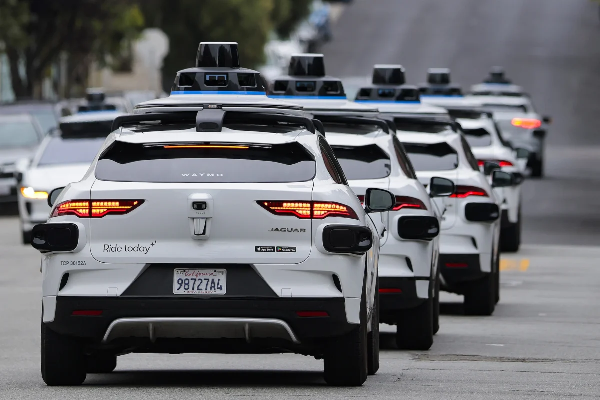
The rise of the internet and mobile technology also led to crowdsourcing initiatives. Platforms like Waze allowed drivers to report road hazards, including potholes, in real-time, sharing information with other users. While effective for immediate alerts, crowdsourced data can suffer from inconsistencies in accuracy, a lack of detailed assessment of damage severity, and often, incomplete coverage across an entire city’s infrastructure. More recently, the proliferation of connected vehicles and autonomous driving technology has opened new avenues. Companies like Waymo, operating fleets of robotaxis, have begun piloting programs to share anonymized pothole data with local governments, leveraging their sophisticated onboard sensor suites for infrastructure monitoring. This approach, while promising, is currently limited by the relatively small scale of autonomous vehicle deployments.
Samsara’s Ground Intelligence: A New Paradigm
Samsara, a company that has spent the last decade equipping millions of commercial trucks and vans with sophisticated camera systems and IoT sensors for driver monitoring, theft prevention, and liability management, is now leveraging this vast, existing network to address urban infrastructure challenges. Its new offering, "Ground Intelligence," represents a significant leap forward in proactive municipal maintenance.
The core of Samsara’s innovation lies in its proprietary artificial intelligence model. By training this model on the immense volume of visual data collected from its customer fleet cameras, Samsara has developed an AI capable of not only detecting multiple types of potholes but also assessing their size, depth, and, crucially, their rate of deterioration. This goes beyond simple detection; it provides actionable insights into the urgency and nature of required repairs.
Samsara’s strategic advantage over other tech-driven solutions, such as those relying on autonomous vehicle fleets, is its sheer scale and prevalence. While a robotaxi fleet might number in the thousands, Samsara’s network encompasses millions of commercial vehicles – from long-haul trucks to local delivery vans and waste management vehicles – that traverse urban and suburban roads daily, often multiple times. This widespread deployment allows for unparalleled data collection coverage across an entire city’s road network. More importantly, this extensive network enables the collection of "repeat data" from the exact same locations over time. This longitudinal data is invaluable for understanding how road damage evolves, allowing cities to move from reactive patching to predictive maintenance strategies. Instead of simply fixing a reported pothole, municipalities can anticipate which areas are deteriorating fastest and prioritize repairs more effectively, preventing minor issues from escalating into major, more costly problems.
Transforming Municipal Operations
The operational impact of Ground Intelligence on cities is profound. Typically, city maintenance departments face the daunting task of sifting through hundreds, if not thousands, of 311 calls and citizen complaints, a process that Samsara’s senior vice president of product, Johan Land, describes as "a lot of noise." Samsara’s pitch is to cut through this noise, delivering a clear "signal" of actionable intelligence.
Ground Intelligence operates as an intuitive digital dashboard for city officials. It proactively populates a map with warnings about developing potholes and other potential infrastructure problems, highlighted by location and severity. Beyond automated detection, the platform allows city personnel to pull anonymized footage from vehicle cameras to confirm citizen reports of various issues, such as downed street signs, clogged storm drains, or overgrown vegetation. This verification capability streamlines the workflow, eliminating the need for dispatching workers for initial assessment in many cases.
Land emphasizes the transformative nature of this shift: "That’s the magic here; it takes a process that was reactive and makes it proactive. That means that you don’t just go and fix one pothole. You plan it out: ‘I know where all the potholes are in this area. I go out and I fix one by one, in one sweep.’" This capability allows for optimized repair routes, reduced operational costs, and a more efficient allocation of limited municipal resources.
Broader Impact and the Smart City Vision
The implications of Samsara’s Ground Intelligence extend far beyond just fixing potholes. This initiative aligns perfectly with the broader global movement towards "smart cities," where technology and data are leveraged to improve urban living, enhance efficiency, and build more resilient infrastructure. By providing a comprehensive, real-time picture of urban conditions, Samsara is empowering cities to become more responsive and proactive stewards of their public spaces.
The model also highlights the growing importance of public-private partnerships in addressing complex urban challenges. Private technology companies, with their agile development cycles and access to vast data networks, are increasingly becoming crucial partners for public sector entities that often face budgetary constraints and bureaucratic hurdles in adopting cutting-edge solutions.
While the data collection is anonymized, the concept of a "moving municipal surveillance network" does raise broader considerations regarding data privacy and the ethical use of collected information. However, when properly implemented with transparent policies and robust anonymization techniques, the benefits in public safety and infrastructure longevity are compelling.
Samsara’s vision for Ground Intelligence is also expansive. The company sees potholes as just the first in a series of insights and data points that can be derived from its existing network. Other potential features include detecting graffiti, broken guardrails, low-hanging power lines, or "anything that we can observe that has relevance to a city, or also to the private sector," according to Land. This suggests a future where commercial fleets become ubiquitous sensors, continuously monitoring the urban environment for a multitude of issues.
Expanding the Intelligence Ecosystem
Samsara is already demonstrating this broader applicability with other recent product announcements. Its "Waste Intelligence" offering aims to optimize waste management operations by making it easier for companies to quickly confirm if their customers’ trash or recycling was picked up, improving service efficiency and customer satisfaction. Similarly, a new "ridership management" solution can assist public transit and school bus operators by alerting drivers to "unexpected boarding events" or creating "digital manifests" for school bus routes, enhancing safety and operational oversight.
These complementary offerings underscore Samsara’s strategy to build a comprehensive intelligence ecosystem around its fleet management platform. By leveraging the same underlying technology and data infrastructure, the company is positioning itself as a central hub for various urban and commercial operational insights, creating significant value for both public and private sectors.
Conclusion: Towards More Resilient Urban Futures
The introduction of AI-powered platforms like Samsara’s Ground Intelligence marks a pivotal moment in urban infrastructure management. By transforming a historically reactive and inefficient process into a proactive, data-driven system, cities can anticipate problems before they escalate, optimize resource allocation, and ultimately deliver safer, more efficient environments for their residents. While challenges related to implementation, integration with existing municipal systems, and ongoing data governance will undoubtedly arise, the potential for significant cost savings, improved public safety, and enhanced citizen satisfaction is undeniable. As commercial fleets become increasingly interconnected and intelligent, they are poised to play an ever-larger role in shaping the resilient, responsive, and smart cities of tomorrow.


