The burgeoning field of commercial space data, long dominated by governmental entities and nascent private ventures primarily serving public sector clients, is experiencing a pivotal shift. With artificial intelligence now a strategic imperative for businesses across sectors, the demand for precise, verifiable "ground truth" data has never been higher. A Spanish startup, Xoople, is positioning itself at the forefront of this evolution, aiming to become the definitive source of this critical data for the enterprise market.
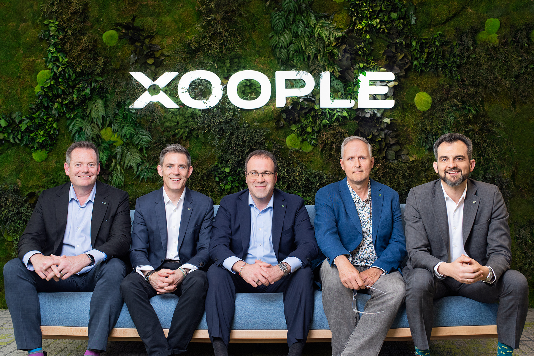
Xoople, pronounced "zoople," recently announced the successful closure of a $130 million Series B funding round, marking a significant milestone in its ambitious quest to map the Earth with unprecedented detail for deep learning models. This substantial capital injection underscores growing investor confidence in the commercial viability of high-fidelity geospatial intelligence tailored for the AI era.
The Financial Fuel for a Global Vision
The $130 million Series B round was spearheaded by Nazca Capital, a prominent private equity firm known for its investments in high-growth companies. Additional investors participating in this pivotal funding round include MCH Private Equity, CDTI (a technology development fund backed by the Spanish government), Buenavista Equity Partners, and Endeavor Catalyst. This diverse consortium of investors highlights both private sector belief and strategic governmental support for Xoople’s innovative approach.
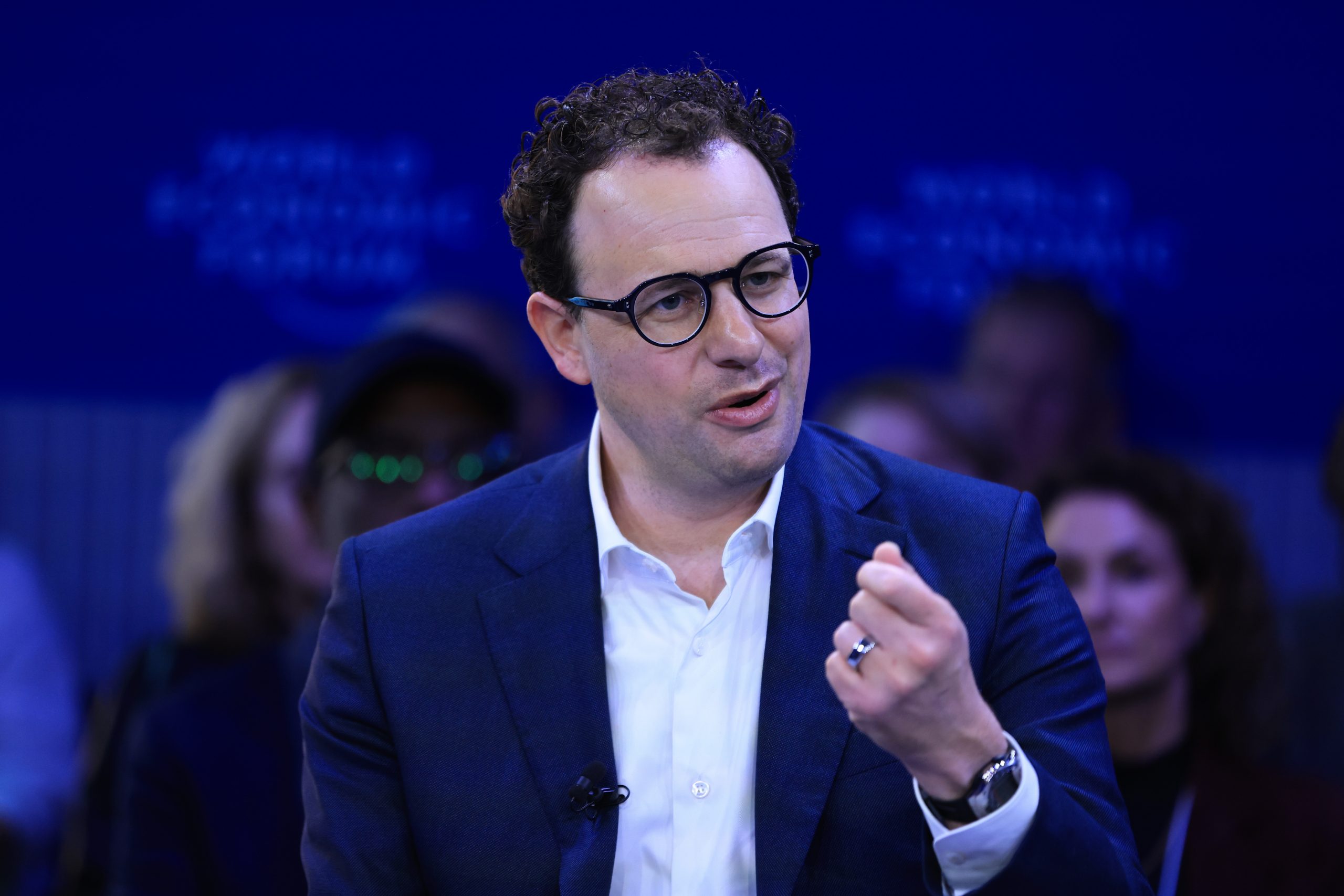
Fabrizio Pirondini, CEO and co-founder of Xoople, shared that the company has now accumulated a total of $225 million in funding since its inception. While the specific post-money valuation was not disclosed, Pirondini indicated that the company has entered "unicorn territory," a descriptor typically reserved for startups valued at $1 billion or more. This valuation places Xoople among an elite group of technology companies globally, signaling robust market confidence in its long-term potential and disruptive capabilities within the Earth observation sector.
A Foundation Built on Data and Innovation
Founded in 2019, Xoople has dedicated the past seven years to meticulously developing its proprietary technology stack. This extensive development period has focused on refining its data processing capabilities, initially by leveraging and enhancing data collected by government spacecraft, such as the European Space Agency’s Sentinel-2 mission. This strategic decision allowed Xoople to build and test its analytical frameworks and algorithms without the immediate burden of operating its own satellite constellation. Concurrently, the company has prioritized seamless integration with leading cloud providers, ensuring its future data streams can be efficiently managed, processed, and delivered at scale to a global clientele.
A critical development for Xoople’s future capabilities was Monday’s announcement of a landmark deal with U.S. space and defense contractor L3Harris Technologies. Under this agreement, L3Harris will commence building advanced sensors for Xoople’s forthcoming satellite constellation. L3Harris is renowned for its expertise in constructing some of the most sophisticated commercial imaging systems currently in orbit. Pirondini emphasized that these sensors are designed to capture optical data, generating "a stream of data that is going to be two orders of magnitude better than existing monitoring systems." While specific details regarding the number of satellites or the exact orbital deployment plan remain undisclosed, the partnership with such a reputable aerospace firm lends significant credibility to Xoople’s technological ambitions. The development and deployment of these advanced systems represent a substantial capital expenditure, underscoring the ongoing need for continuous investment as the company progresses towards its full operational capacity.
The Evolving Landscape of Earth Observation
The commercial Earth observation (EO) market has undergone a dramatic transformation over the past two decades. Historically, satellite imagery and geospatial data were primarily the domain of national space agencies and military intelligence operations. Programs like the U.S. Landsat series, initiated in the 1970s, and the European Copernicus program (which includes the Sentinel satellites) have provided invaluable data for environmental monitoring, resource management, and scientific research.
However, the early 21st century witnessed the emergence of private companies aiming to commercialize space-derived data. Pioneers like DigitalGlobe (now Maxar Technologies) demonstrated the commercial viability of high-resolution imagery. More recently, advancements in miniaturization, launch technology (e.g., CubeSats, ride-share options), and data analytics have democratized access to space, leading to a proliferation of startups. Companies such as Planet, BlackSky, and Vantor (among others) have deployed or are deploying their own constellations, offering frequent revisit rates and diverse data products. Even established aerospace giants like Airbus have robust Earth observation divisions, leveraging decades of experience.
Xoople is entering a highly competitive and increasingly crowded arena. Its key differentiator, as articulated by Pirondini, lies not just in the superior quality of its data but in its laser-sharp focus on enterprise platforms. While many competitors offer raw data or proprietary analytical tools, Xoople’s strategy is deeply embedded in integrating its data and solutions directly into the ecosystems where businesses already operate.
A Strategic Approach: Distribution First
Aravind Ravichandran, CEO of Earth observation sector consultancy TerraWatch Space, offered an insightful perspective on Xoople’s unique strategy. He highlighted the intriguing decision to establish a robust distribution strategy even before having its own proprietary data supply in orbit. Currently, Xoople relies on publicly available data, such as that from Sentinel-2, to refine its algorithms and demonstrate its analytical capabilities.
Ravichandran noted, "They laid the distribution pipes before having their own data supply – embedding into Microsoft and Esri, the two platforms where enterprise, government and most GIS buyers already live, but neither has proprietary EO data." This approach contrasts with many traditional EO companies that build their satellite assets first and then seek to monetize the data. By integrating early with widely used Geographic Information System (GIS) and cloud platforms, Xoople aims to streamline the adoption of its future proprietary data, reducing friction for potential enterprise clients. This strategic positioning could prove advantageous, ensuring that once Xoople’s high-fidelity data stream becomes available, it can be rapidly deployed and leveraged by a vast existing user base. Ravichandran also pointed out that "Google’s head start on geospatial AI models is the benchmark they’ll be measured against," indicating the high standards and competitive pressures Xoople faces in the advanced geospatial AI space.
Diverse Applications and Societal Impact
The potential applications for Xoople’s high-quality geospatial data are extensive and span a multitude of industries and public sector functions. Pirondini outlined several compelling use cases:
- Government Agencies: Enhanced capabilities for tracking transportation networks, monitoring critical infrastructure, and assessing damage from natural disasters with greater speed and accuracy. This can lead to more effective emergency response, urban planning, and resource allocation.
- Agribusiness: Detailed insights for precision agriculture, including monitoring crop health, predicting yields, optimizing irrigation, and managing pest outbreaks. Such data can significantly improve food security and agricultural efficiency.
- Large Firms: Comprehensive oversight for large-scale infrastructure projects, enabling real-time progress monitoring, identifying potential issues, and ensuring compliance. Additionally, companies can gain granular visibility into complex global supply chains, mitigating risks and optimizing logistics.
- Environmental Monitoring: Tracking deforestation, water resource changes, glacial melt, and urban expansion, providing crucial data for climate change research, conservation efforts, and sustainable development initiatives.
- Insurance: More accurate risk assessment for properties and assets, particularly in disaster-prone areas, and faster, more precise claims processing following events like floods or wildfires.
The broader societal and cultural impact of such pervasive and precise Earth observation data is profound. It enables more informed decision-making at every level, from individual farmers optimizing their fields to international organizations monitoring global environmental health. This level of "ground truth" data acts as a powerful enabler for AI models, allowing them to learn from real-world conditions with unparalleled accuracy, leading to more robust predictive analytics and automated insights across diverse domains.
The Vision: Earth’s System of Record
Looking ahead, the exact balance Xoople will strike between offering raw data and developing its own advanced analytical tools remains a strategic consideration. However, Pirondini’s ultimate ambition is grander than merely providing data. He envisions building "Earth’s System of Record," a comprehensive, dynamic digital twin of our planet. This ambitious project is expected to culminate in the development of a true AI world model, collaboratively built with partners.
An "AI world model" represents the pinnacle of geospatial intelligence, where artificial intelligence can not only interpret current conditions but also predict future states and model complex interactions across the Earth’s systems. Such a model could revolutionize scientific research, urban planning, disaster preparedness, and even inform global policy decisions. It implies a continuous, high-resolution stream of data feeding sophisticated AI algorithms, creating an unprecedented understanding of our planet’s intricate dynamics.
Xoople’s substantial Series B funding and its strategic partnerships position it as a formidable contender in the race to define the next generation of Earth observation. By prioritizing enterprise integration and focusing on data quality for AI, the Spanish startup is not just building a satellite constellation; it is laying the foundational data layer for a future where artificial intelligence deeply understands and interacts with the physical world, unlocking solutions to some of humanity’s most pressing challenges.


